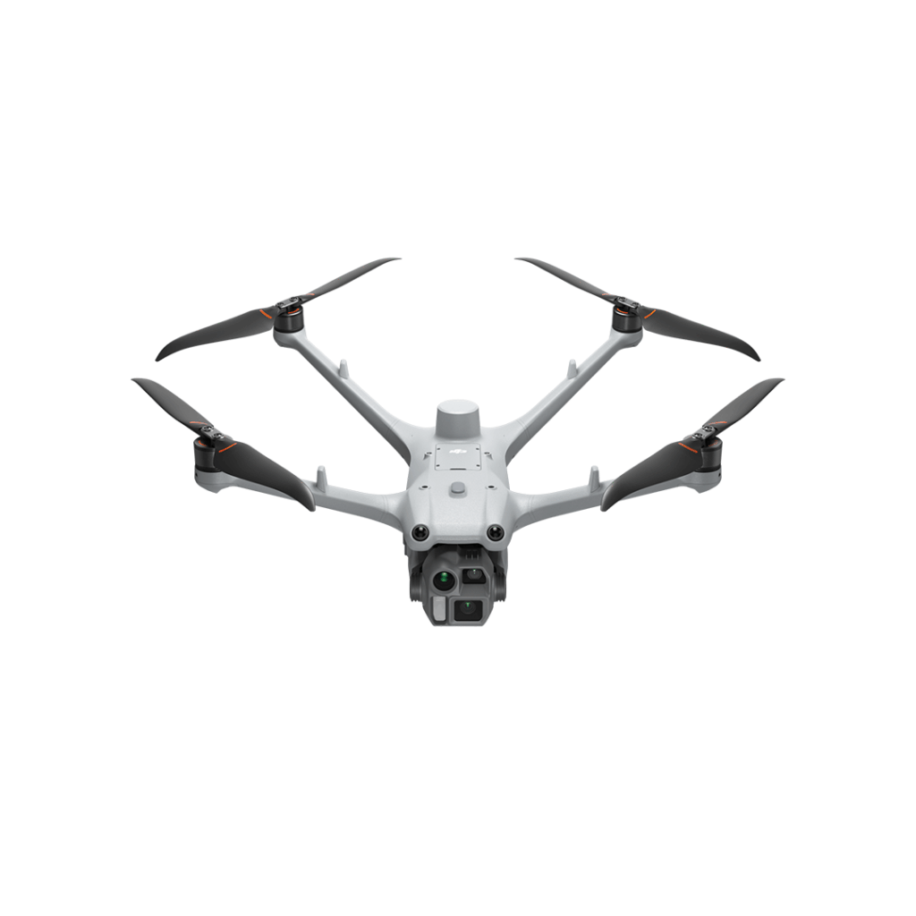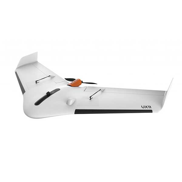
Description
The smartest plant-mapping drone
The Delair UX11 Ag: high productivity and easiness of use with no compromise on the data quality – for professional ag insights.
Features
- Up to 52 minutes endurance
- 8 cm GSD at 400 ft (122 m) flight height, down to 5 cm GSD
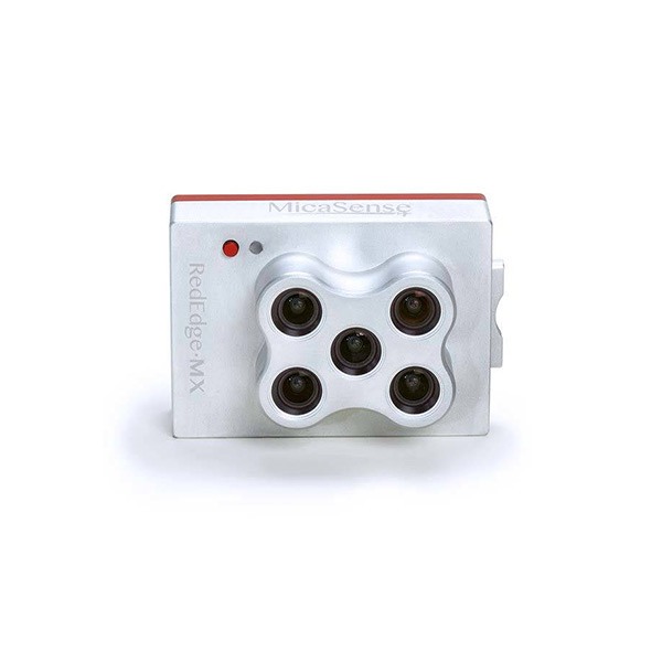
- Fully integrated Micasense camera
- 3G/4G connectivity for BVLOS
- PPK as you go
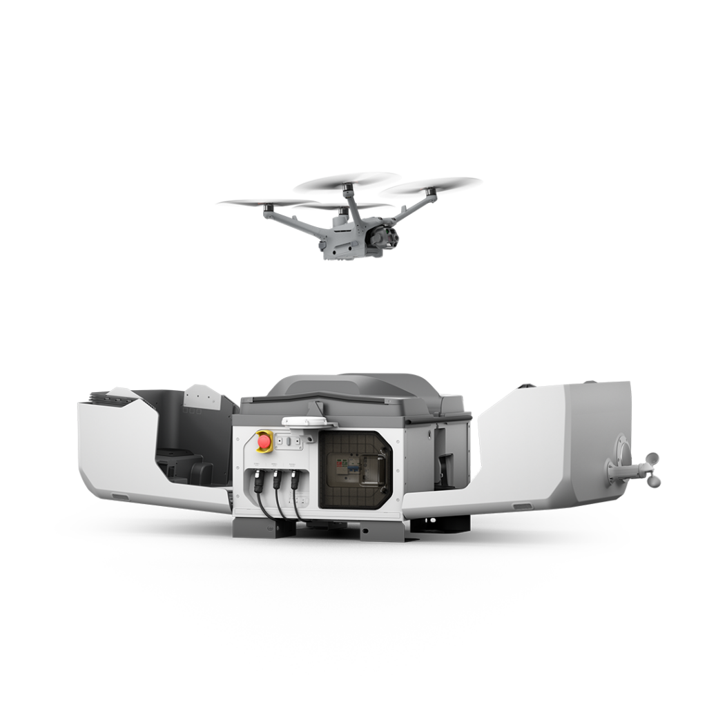
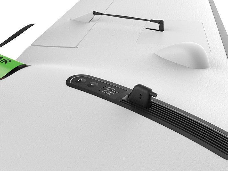
- Hand launch
- Control camera settings and quality during flight
- Android-based platform
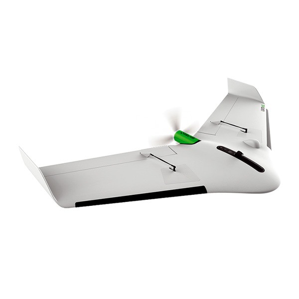
High-end multispectral camera for plant-level measures
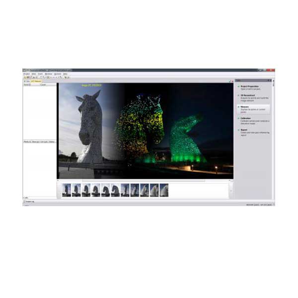
Embedded aerial intelligence
- Real-time camera to Ground Control Station link for on-the-fly quality control
- Control camera settings and quality during flight
- Fully-integrated Micasense camera
- 8 cm GSD at 400 ft (122 m) flight height, down to 5 cm GSD
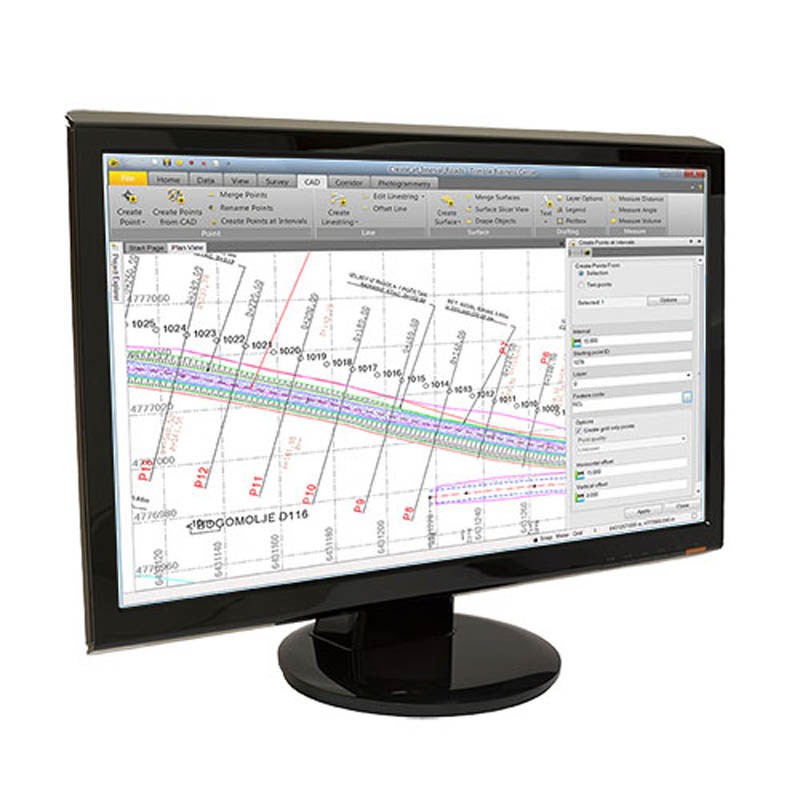
Future-ready electronics
Embedded system with onboard processor:
- Advanced quality checks on the fly
- Deep learning
- More to come!