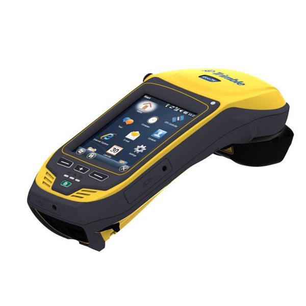
Description
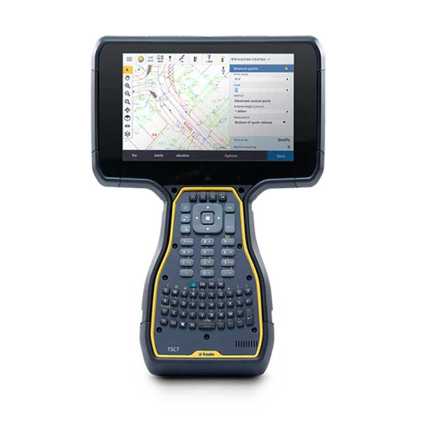
The rugged Trimble® Geo 7X handheld with Trimble Access™ software is a complete solution designed to make both high-accuracy surveying and handheld point measurement easier, more efficient, and more flexible.
- Easy-to-use feature coding
- Feature-rich graphical COGO routines for calculating points and features
- Graphical staking of points, lines, arcs, and alignments from active maps
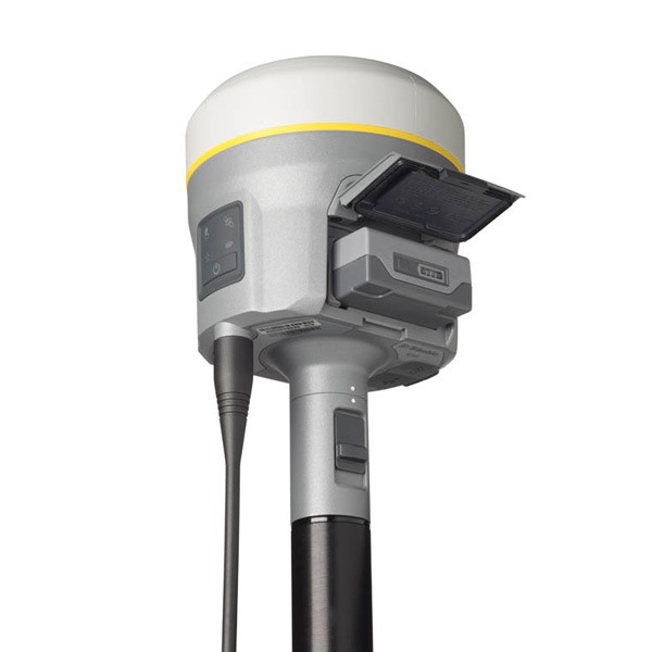
- Detachable Geo 7X rangefinder accessory – simply point and shoot to get the position
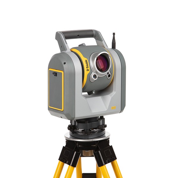
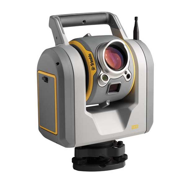
- Integrated Surveying technology combines optical, scanning, and GNSS data plus images in the same job
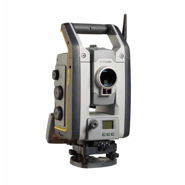
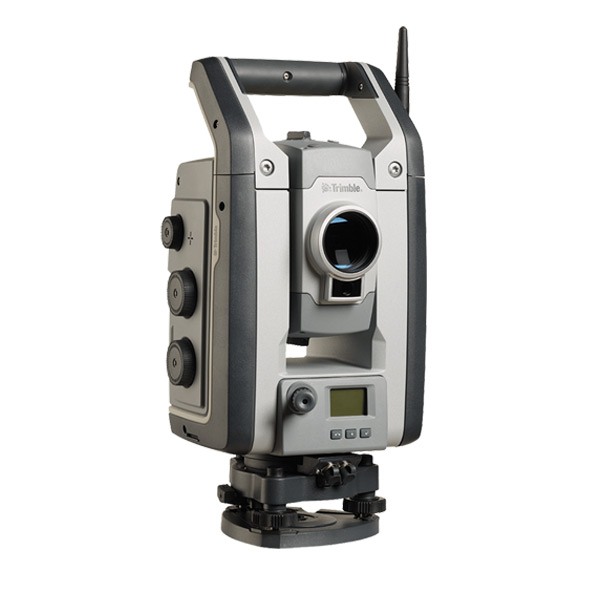
- Trimble VISION™ enabled sensor control
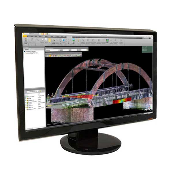
- Real-time data sharing between field and office – move files, provide updates, deliver completed projects
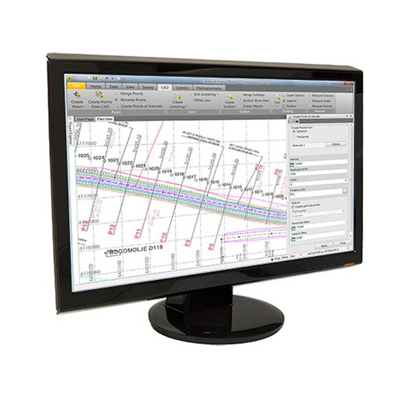
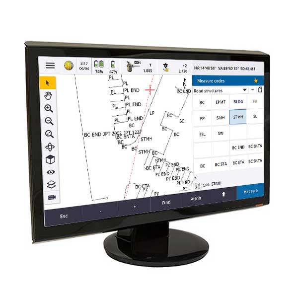
Optimized with Trimble Access software
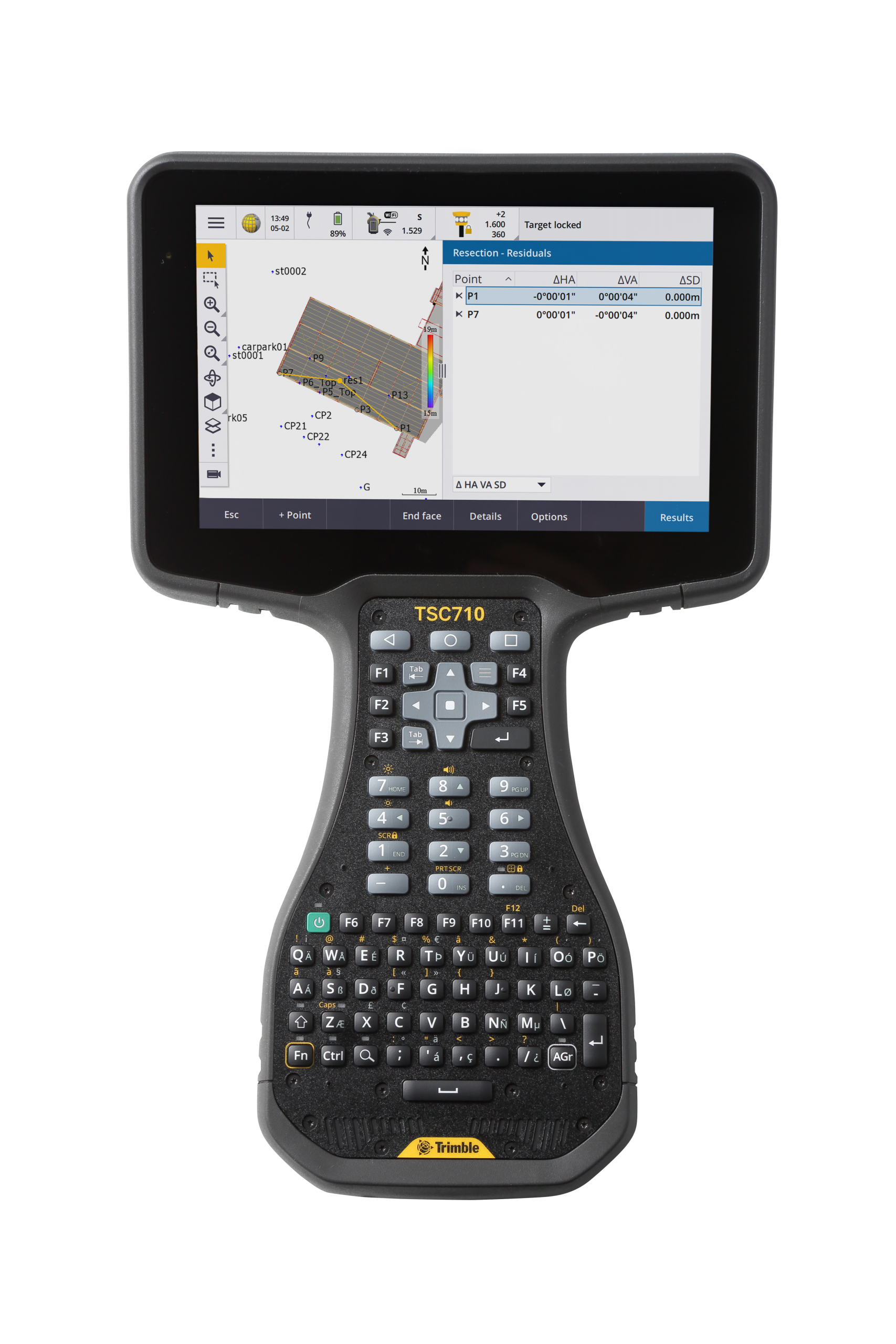
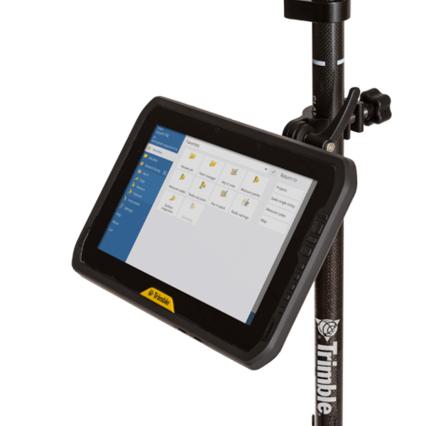
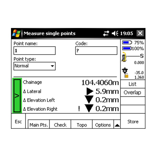
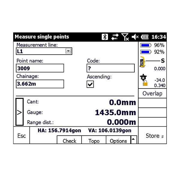
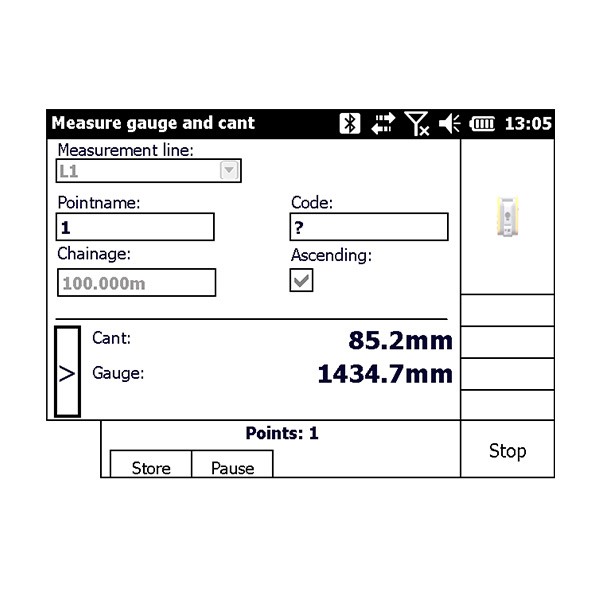
- Trimble Access field software features the power, functionality, and modularity that surveyors need today. It is designed to support everyday work such as topographic surveys, staking, control, and more through a familiar, easy-to-use interface that will ensure your instant productivity—and you’ll experience less of the typical downtime associated with learning new software.
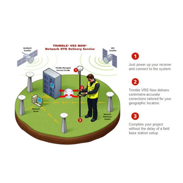
- The integrated 3G cellular modem allows continuous network and internet access for web-based services, Trimble VRS™ corrections, and live, secure synchronization of field and office files through Trimble AccessSync.
- Wireless connectivity options including cellular and Wi-Fi technology ensure that field workers can remain in contact with the office and each other, even from remote locations.
- The Trimble Geo 7X comes with Microsoft® Windows® Embedded Handheld version 6.5 Professional operating system, making it easy to use standard office documents in the field.
Photographs and geotagging in the field
- Includes a 5 megapixel autofocus camera with geotagging capability to aid in capturing information about an asset, event, or site. The camera is controlled by the Trimble Access software, so photo capture and linking of images to survey data is seamless and simple to integrate with existing workflows.
- Easily record the qualitative information that survey data alone can miss, such as site conditions or work progress. The benefits of including images as part of your workflow are almost limitless—from easy data handover to in-field quality assurance.
Designed for high efficiency work
- Fully rugged with an IP65 rating for dust and water, and MIL-STD-810F ratings for drops, shock, vibration, temperature, altitude and humidity.
- For times when occupying the position is simply not possible due to dangerous conditions or right of-way challenges, utilize the detachable Geo 7X rangefinder accessory. Measurements integrate directly into Trimble data collection software—simply point and shoot to get the position.
- The Trimble Geo 7X with Access software and services, together with Trimble VRS technology and Trimble Business Center, is an optimal solution for surveyors facing a variety of work requirements.