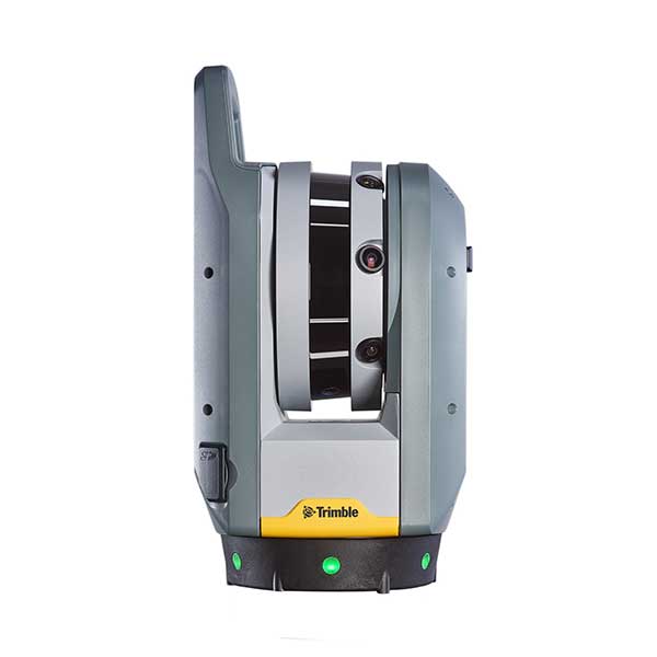
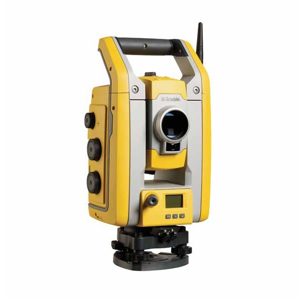
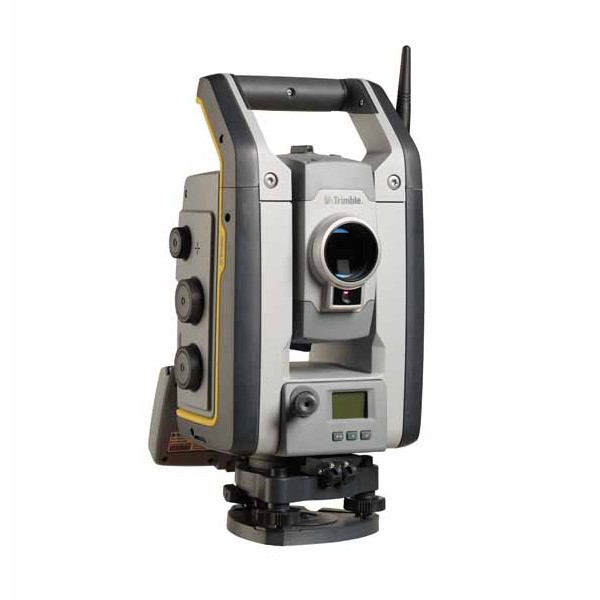
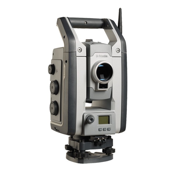
Laser Scanning System for Kinematic Clearance Analysis & Asset Data Collection Applications
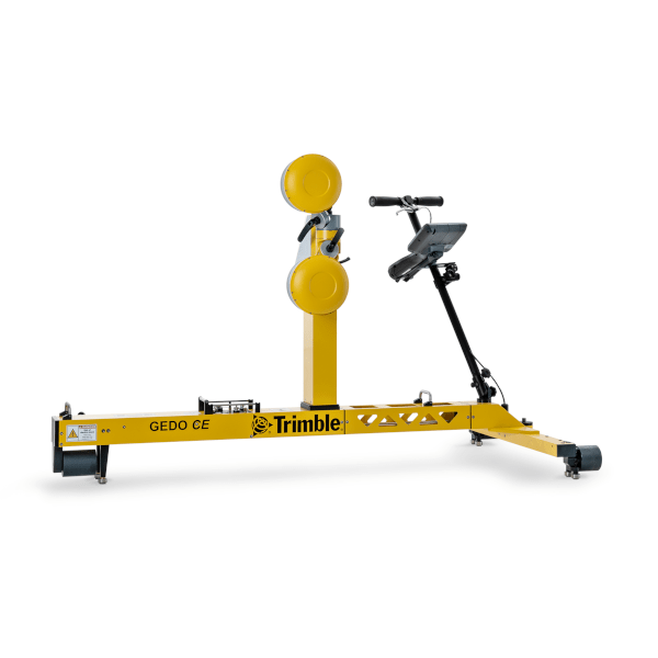
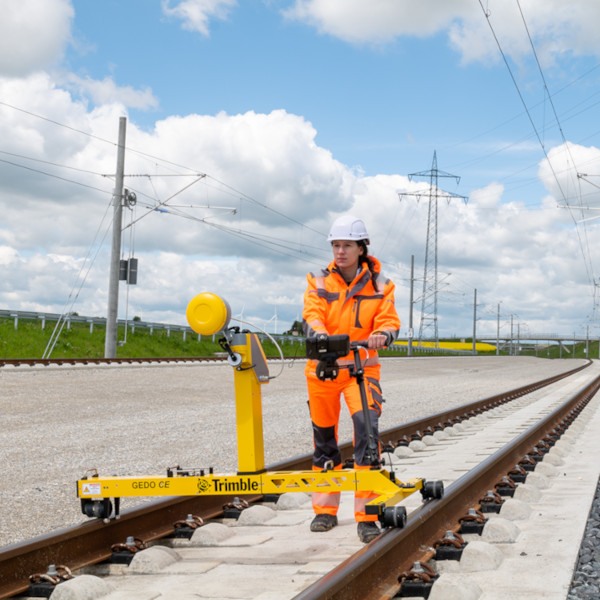
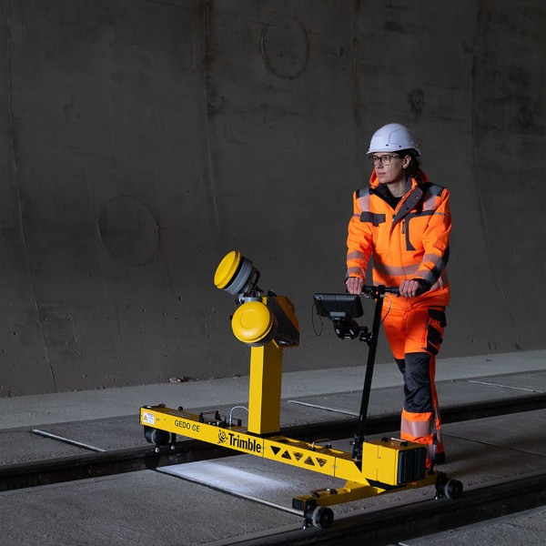
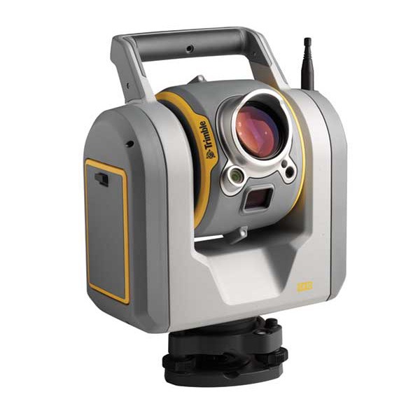
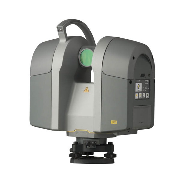
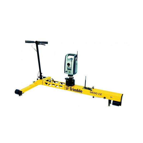
The Trimble GEDO GX50 is a modern and flexible laser scanning system that is designed to operate with Trimble GEDO track measurement systems.
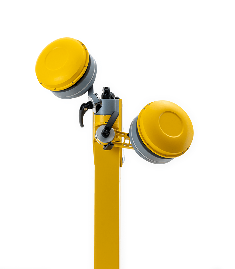
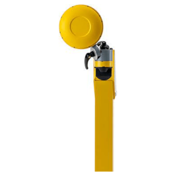
It is available in a Single Head configuration with one scanner and in a dual head configuration with two scanners. The modular system design allows the second scanner to be added later. Depending on application specific requirements, the scanners can be mounted in different positions and tilt angles. The scanner positioned perpendicular to the track axis provides an optimum of accuracy for high precision clearance analysis. In the butterfly configuration, objects that are perpendicular to the track become clearly visible.
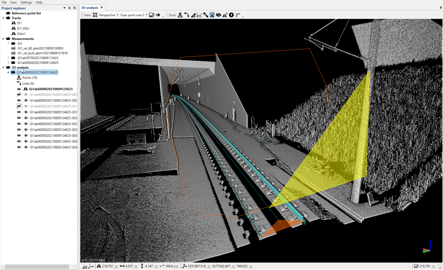
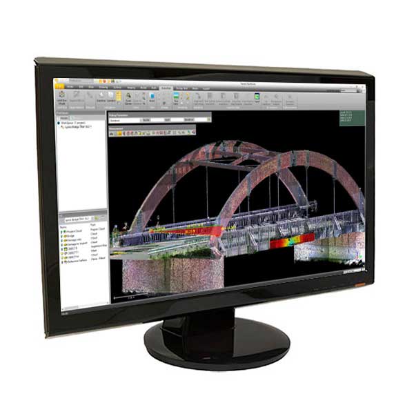
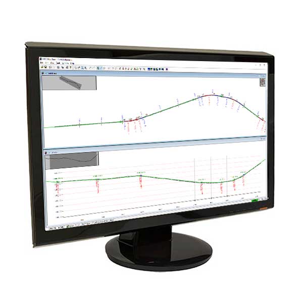
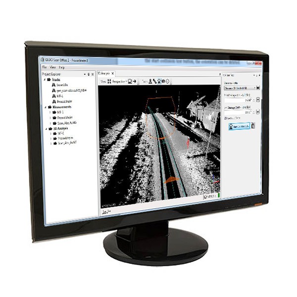
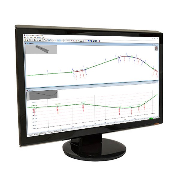
The high-resolution three-dimensional data obtained with the system quickly and precisely can be used for clearance verification and as-built data collection. In terms of accuracy and resolution, the data provides an excellent basis for modelling in a BIM-compliant design and construction workflow.
Trimble GEDO Scan Systems
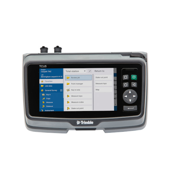
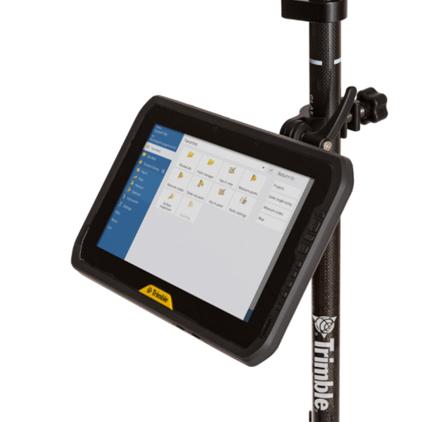
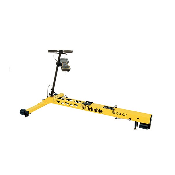
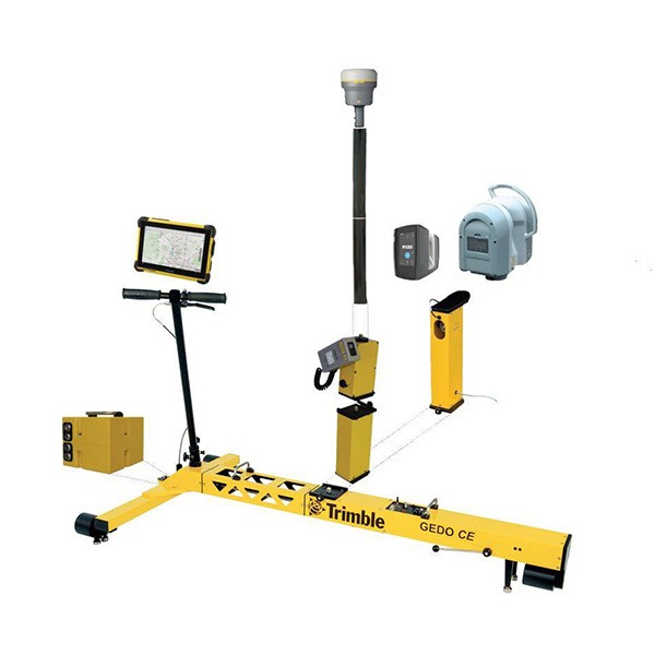
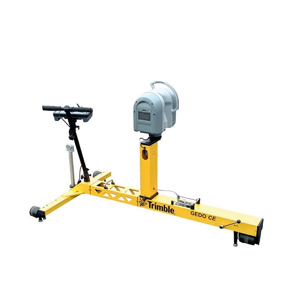
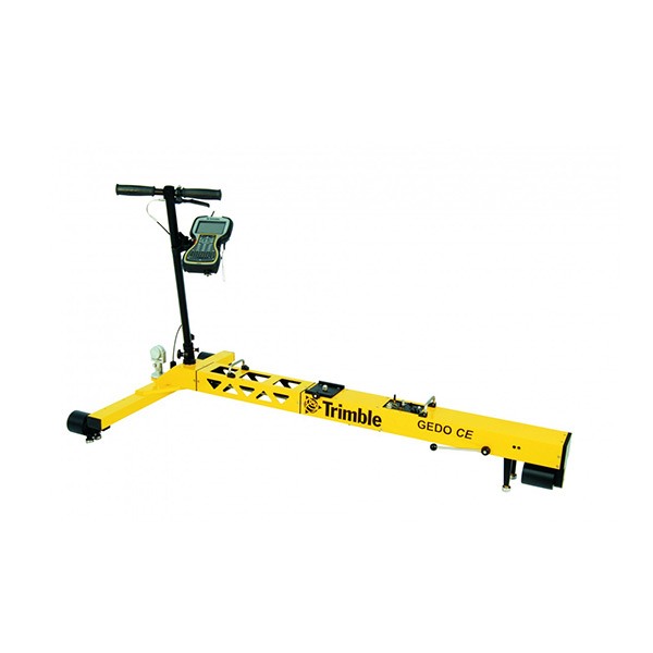
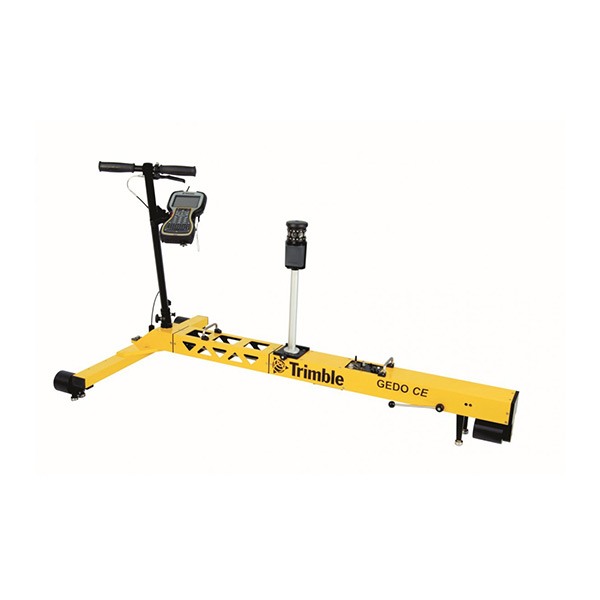
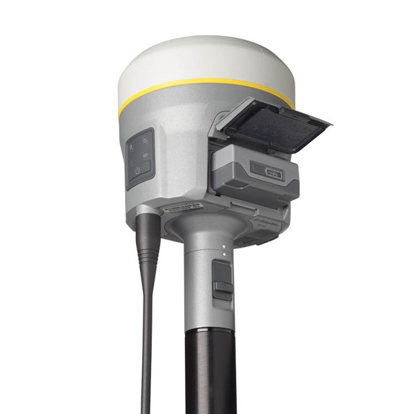
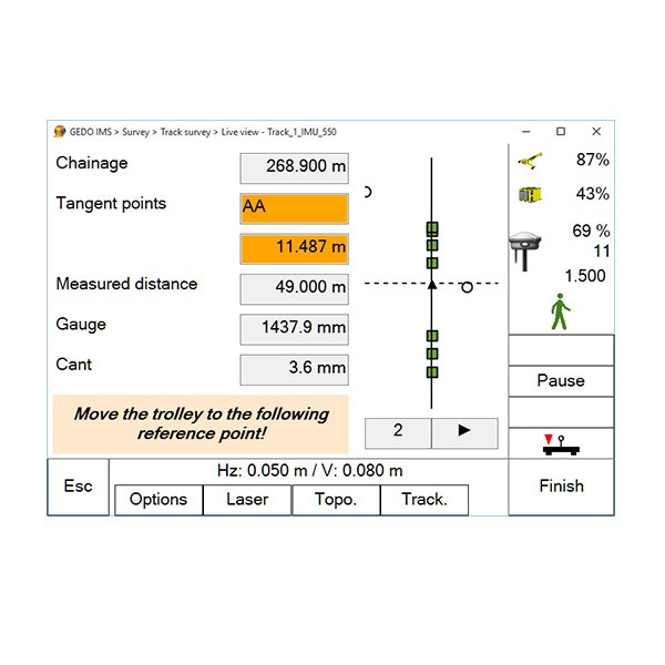
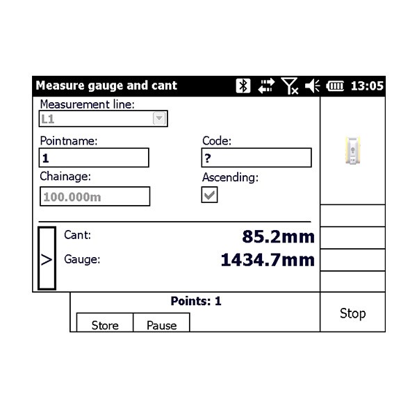
The Trimble GEDO GX50 can be combined with the Trimble GEDO CE 2.0 track measurement trolley to form various Trimble GEDO systems. The track measurement trolley measures the track gauge and cant in conjunction with the distance travelled. The basic configuration, Trimble GEDO Scan, allows the acquisition of a purely relative or pseudo-absolute processed point cloud. In the geodetic Trimble GEDO Rec-Scan configuration, the absolute track position is determined using a total station or GNSS receiver. This position is also used for absolute referencing of the point cloud. The Trimble GEDO IMS-Scan and Trimble GEDO IMS-GNSS-Scan systems combine state-of-the-art inertial measurement technology and laser scanner into a multi-sensor system. The flexible processing allows different types of georeferencing for an absolute referenced point cloud.