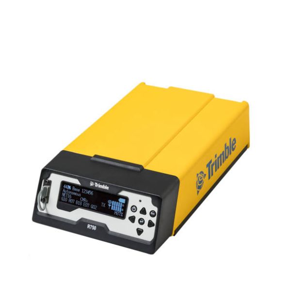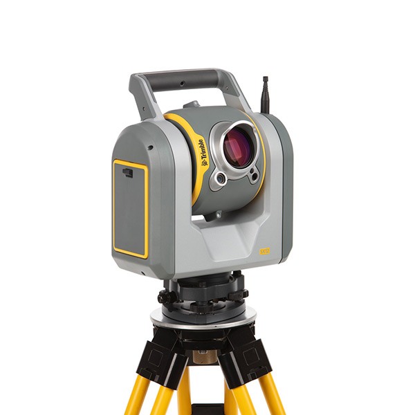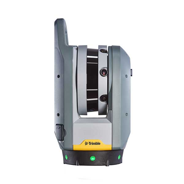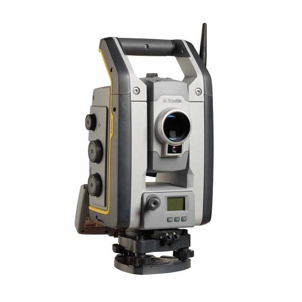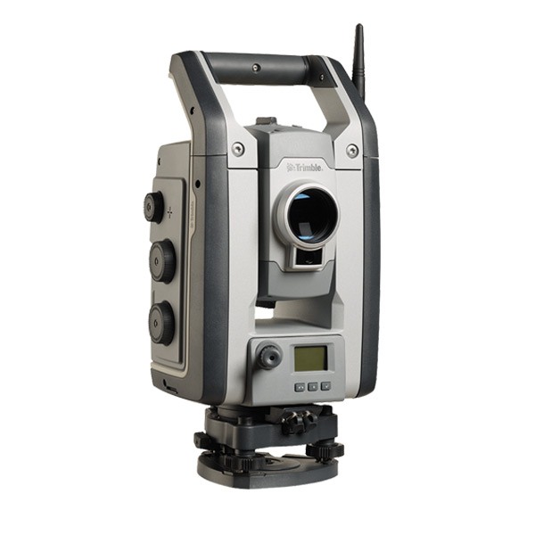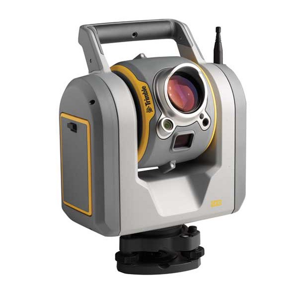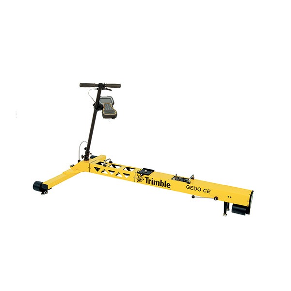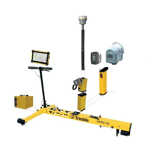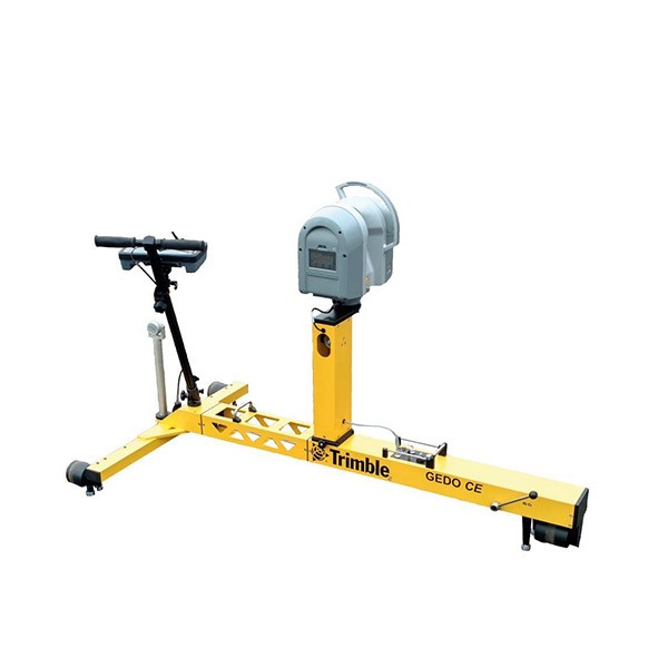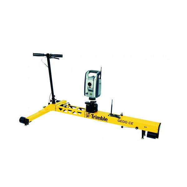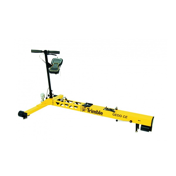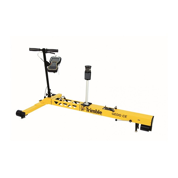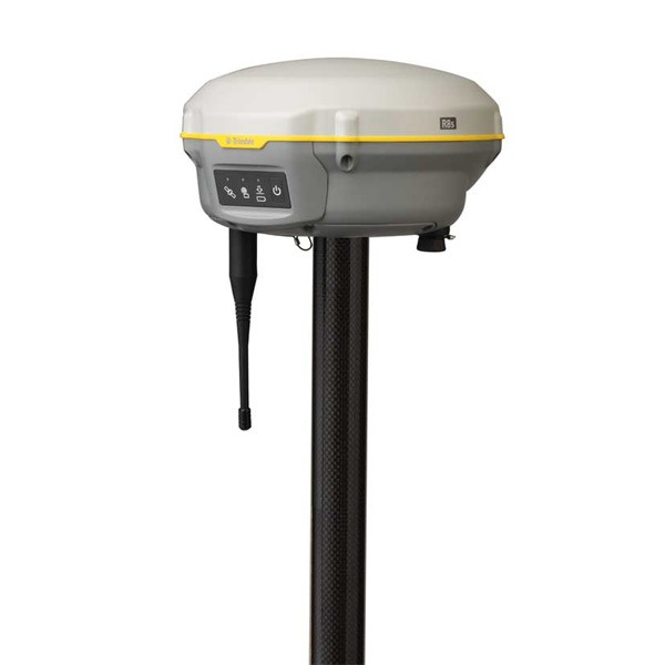
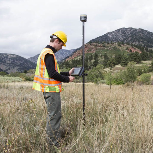
Description
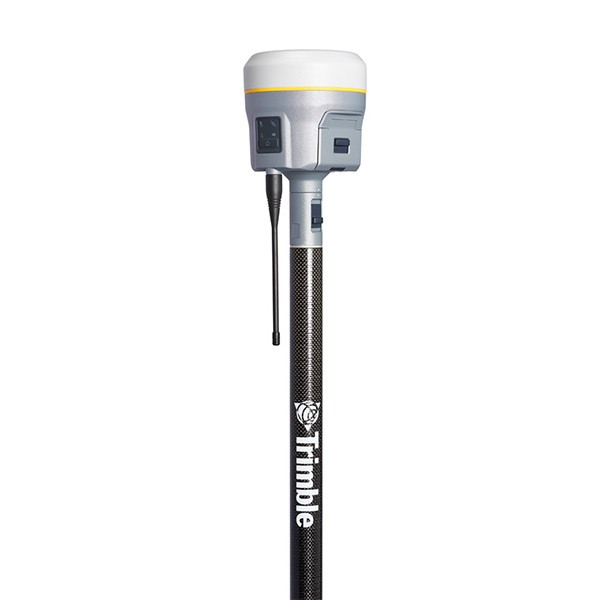
Pure, uninterrupted surveying
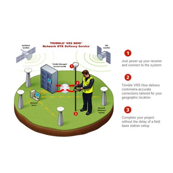
- With a Trimble CenterPoint RTX subscription, enhanced Trimble xFill functionality allows surveyors to continue collecting data with centimeter accuracy indefinitely after connection is lost with their base station or VRS network.
- Without a Trimble CenterPoint RTX subscription, xFill maintains RTK level accuracy for up to five minutes during interruptions in the primary terrestrial correction stream. xFill functionality is built into every Trimble R10 GNSS system.
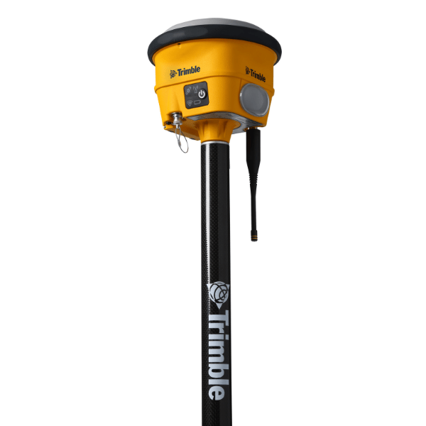
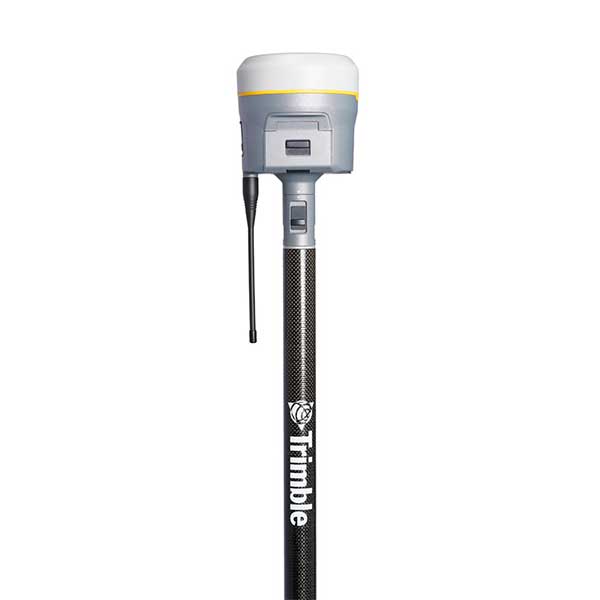
Collect more accurate data faster and easier
- Survey previously inaccessible points, reduce occupation time and record faster and safer measurements than ever before.
- Built-in firmware gives automatic compensation for up to 15 degrees of pole tilt.
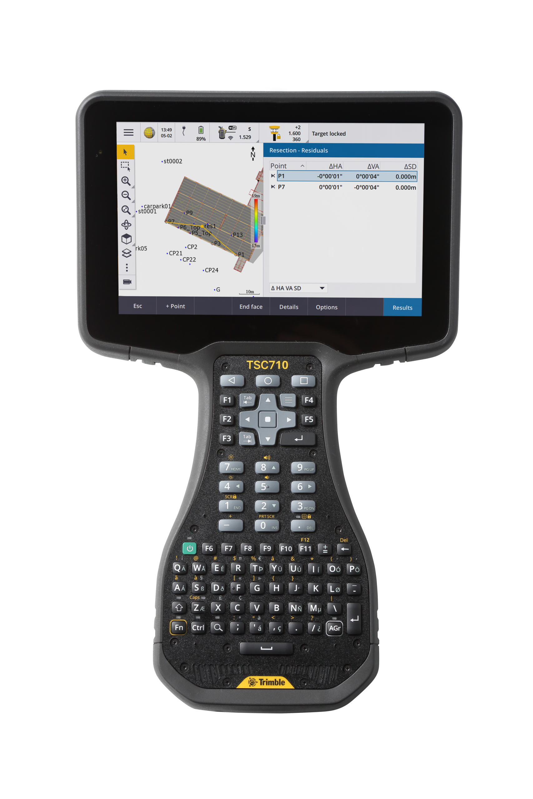
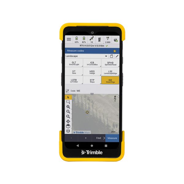
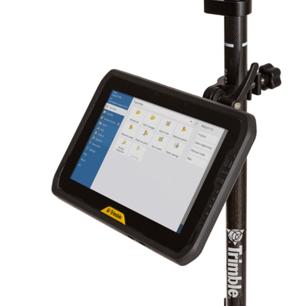
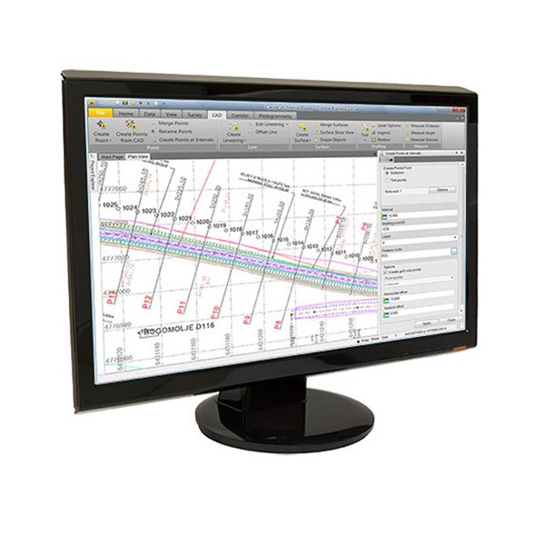
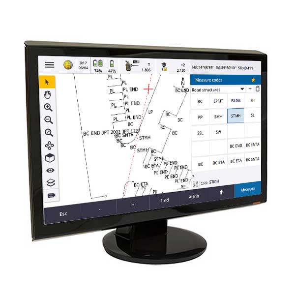
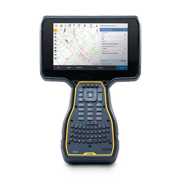
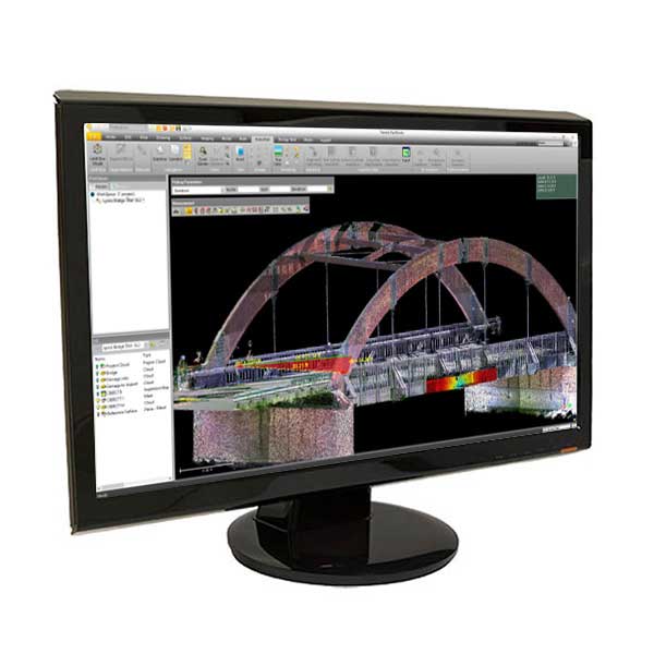
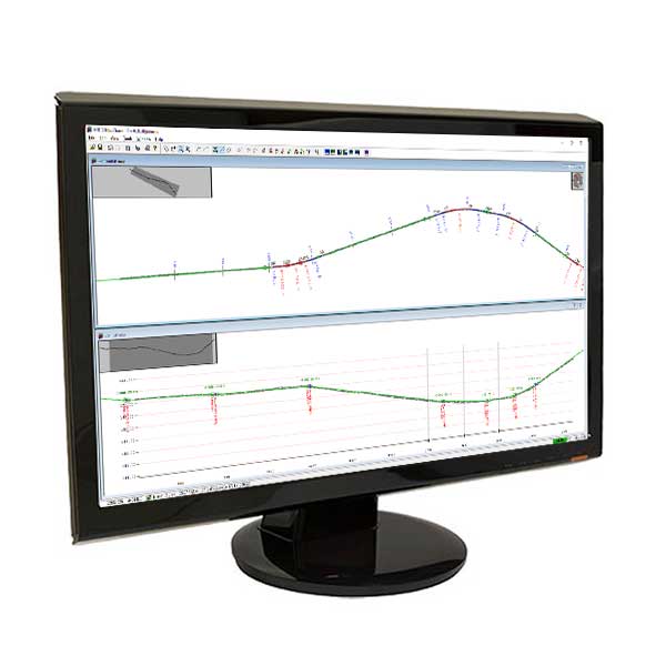
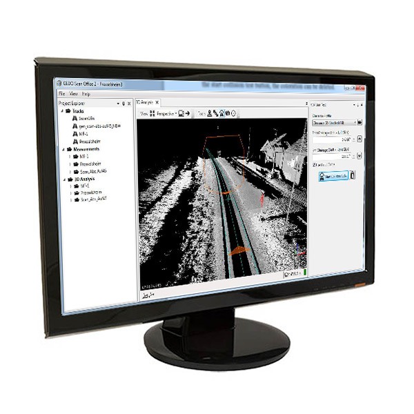
Trimble software designed for surveyors
- Bring the power and speed of the Trimble R10 system together with trusted Trimble land surveying software solutions, including Trimble Access and Trimble Business Center.
- Trimble Access field software provides specialized and customized workflows to make surveying tasks quicker and easier while enabling teams to communicate vital information between field and office in real-time. Back in the office, users can seamlessly process data with Trimble Business Center software.