Description
General Survey
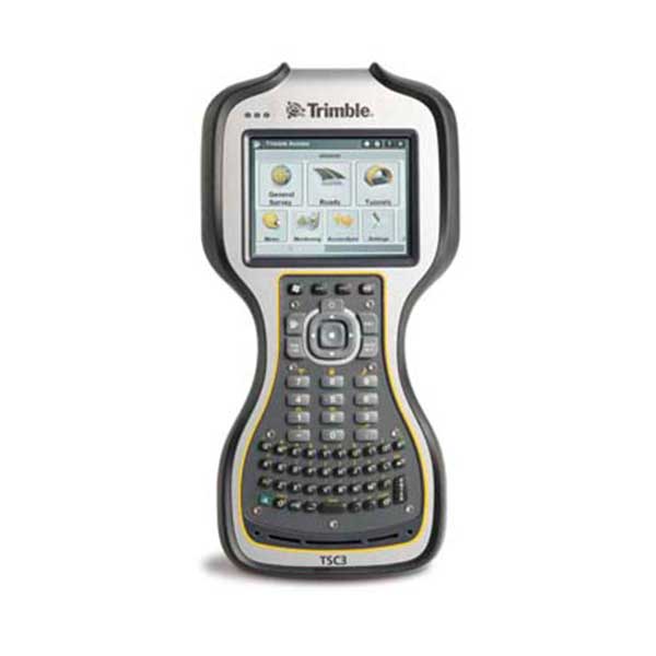
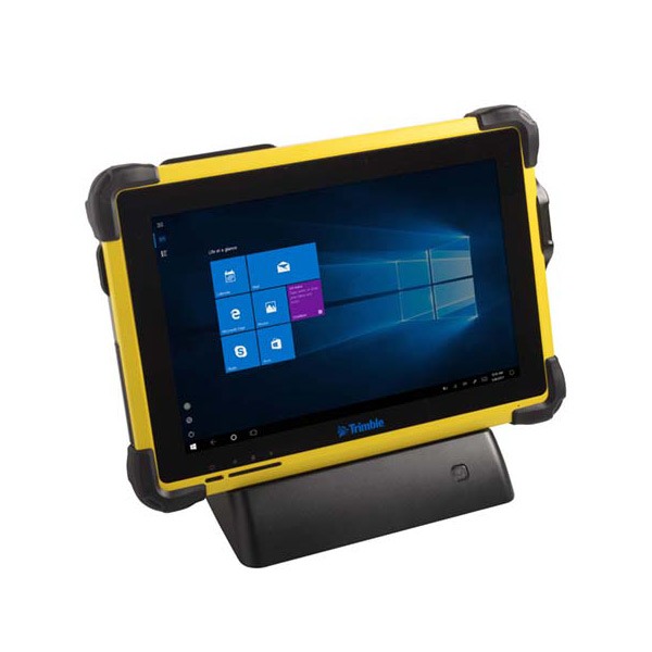
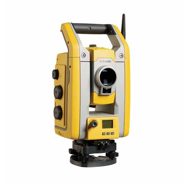
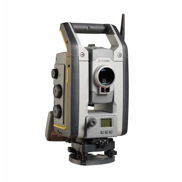
Streamline Your Everyday Workflows
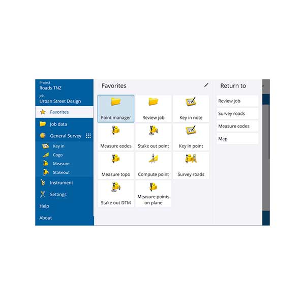
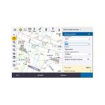
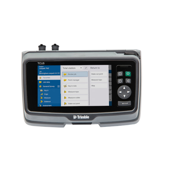
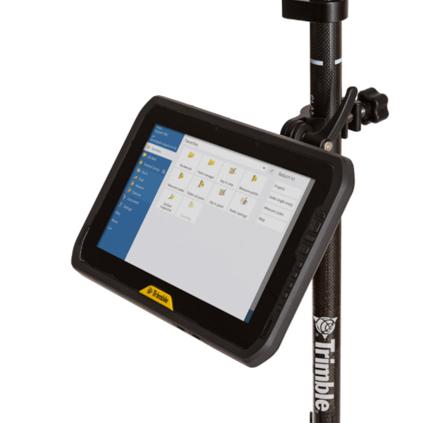
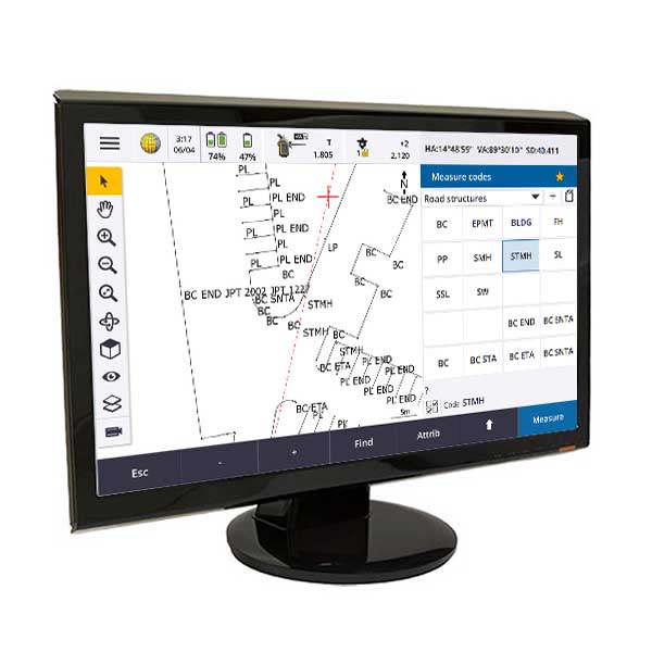
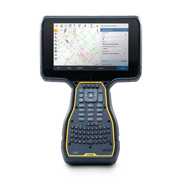
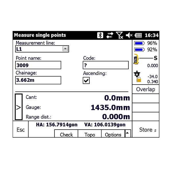
Designed to support your everyday work, including topographic surveys, staking, control, and more; Trimble® Access™ offers a familiar, easy-to-use interface delivering increased productivity and saving you money.
Trimble Access for General Survey
Improve worksite efficiency with functionality in Trimble Access for General Survey:
- Designed to support your everyday survey workflows
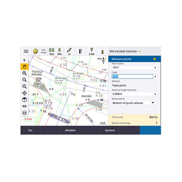
- One-tap easy-to-use feature coding
- Powerful COGO routines
- Graphical staking of points, lines, arcs, and alignments from active maps
- Integrated Surveying technology combines optical, scanning, and GNSS data plus images in the same job
Roads & Corridors
The streamlined workflow for Trimble® Access™ Roads adds powerful tools to simplify road stakeout. The step-by-step approach guides you with minimal training, providing all the tools at your fingertips to complete a road stakeout project. All the other non-road stakeout functionality is also easily accessible from General Survey—if you need it.
Monitoring
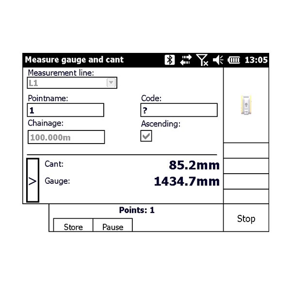
Surveyors looking for a fast entry to deformation monitoring can take advantage of the Monitoring application for the Trimble® Access™ software suite. The Monitoring module guides surveyors through a step-by-step process that speeds up setup, data collection, reporting, and return visits to the same monitoring projects. The workflow is streamlined for regular, but not necessarily continuous, control and deformation surveys.
Tunnels
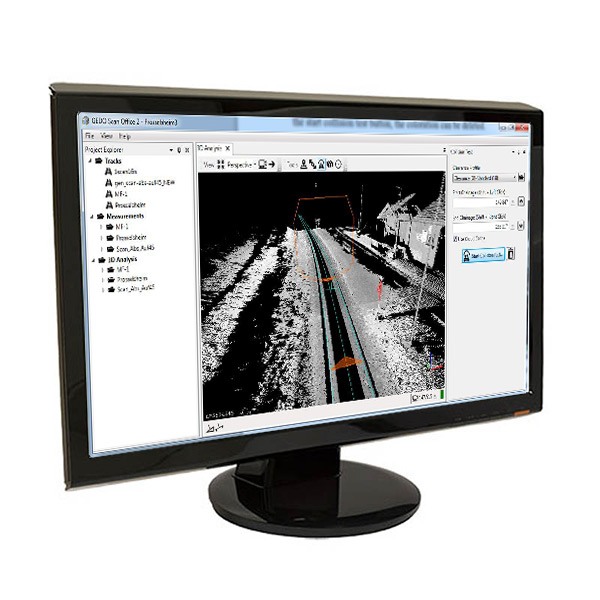
Trimble® Access™ Tunnels is the ideal application for the engineering surveyor who needs to check tunnels for over or underbreak, set out bolt holes, or position a drilling rig and requires:
- Flexible software
- An extensive range of powerful stakeout routines
- Easy-to-use tunnel survey software that you can learn to be productive with after just a few hours of use
Pipelines
Trimble® Access™ Pipelines has powerful tools to collect pipe attribute data, record the relationship between welds and pipes (joints), and then when the pipeline is surveyed, electronically link the joint attributes to the measured welds. All data is recorded electronically, available for checking at every step in the process, and all recorded attributes are stored with the survey data. This process streamlines the workflows in the field as well as in the office.
Services
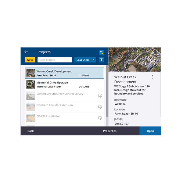
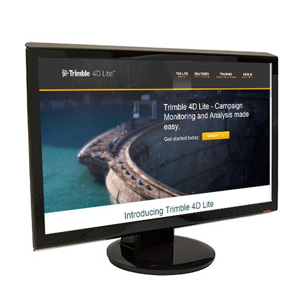
Trimble® Access™ services provides cloud-based data hosting and visualization tools for collaboration and easy access to your data with Trimble Connect. It also features:
- A file synchronization service that allows data to be shared instantly between the office and field crew – and between field crews. Send job updates or get updated project data when you need it.
- Simplified data management so you can spend less time setting up and more time getting work done.
- A seamless workflow with Trimble Access field software and Trimble Business Center – data where you need it.
- A new, easy and intuitive interface that doesn’t require an IT department to use.
Trimble Access Services consists of two components:
Trimble Connect
is a cloud-based collaboration platform that provides online data storage and advanced modelling tools to enable project teams to share project information quickly and easily. Trimble Connect can be accessed from a browser, or you can install the desktop or mobile applications. In addition, Trimble Connect Sync is an application which can be used to synchronise files between the computer and Trimble Connect.
AccessSync
is a service which uses an internet connection to transfer files between the field controller and Trimble Connect. The AccessSync application is installed on the field controller with Trimble Access (v2017.00 or later). Log in to your Trimble Connect account from within Trimble Access and use the AccessSync application to select which folders to synchronize.
