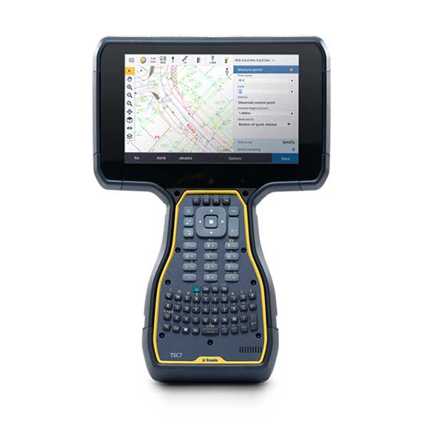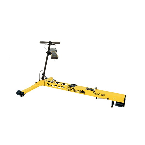
Description
Features
- Ensure site safety with robust and powerful real-time monitoring software providing unparalleled movement analysis for a large range of monitoring sensors
- Customise every monitoring project – gather the displacement data you require when you need it, to mitigate risk and make informed decisions about the safety of the structure and surrounding environment
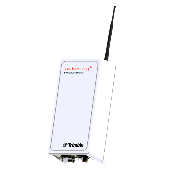
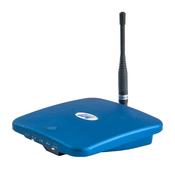
- Quickly connect and configure geotechnical sensors from a variety of manufacturers via compatibility with the Load-sensing wireless gateway
- Easily understand movement across multiple projects with advanced data analysis and visualisation tools, and access this information anywhere using the web interface
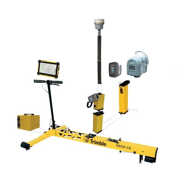
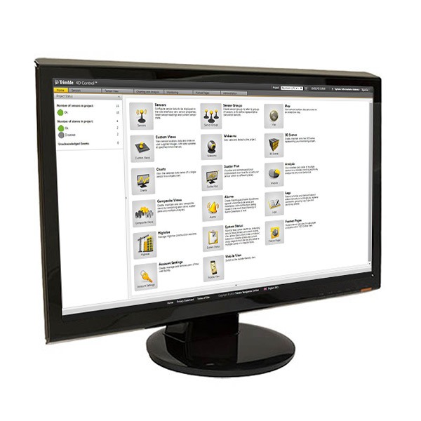
Software Components
Every monitoring project is different and Trimble 4D Control software gives you flexibility to design just the right solution for your project. With add-ons to enable capabilities, tailor your project for the types of sensors measurements which will best capture the conditions at the site, supported by the appropriate instrument controls, data collection, data processing, data analysis and alarming. Have your monitoring needs evolved during the project? These components can be added to existing installations anytime:
- Control Room Web – Enables you to monitor multiple Trimble 4D web installations.
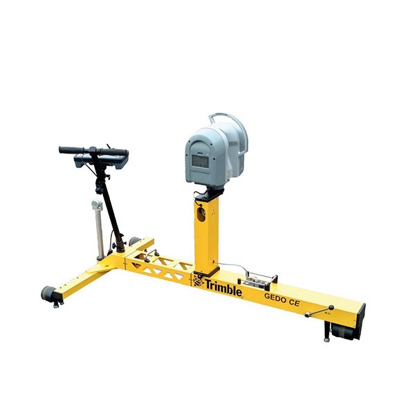
- Geotechnical – Provides continuous high precision measurements and rapid updates for geotechnical sensors to monitor over long distances.
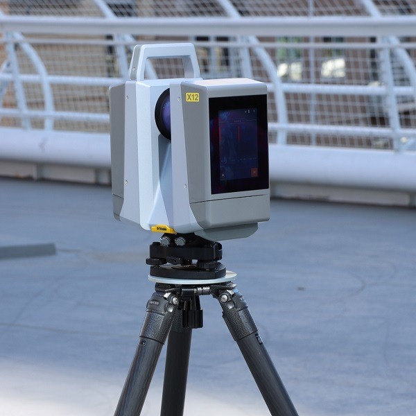
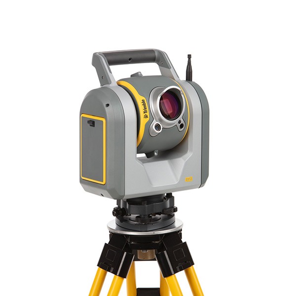
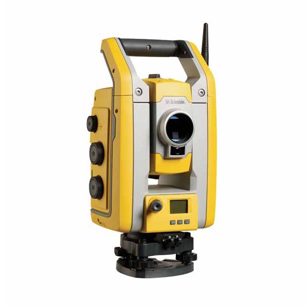
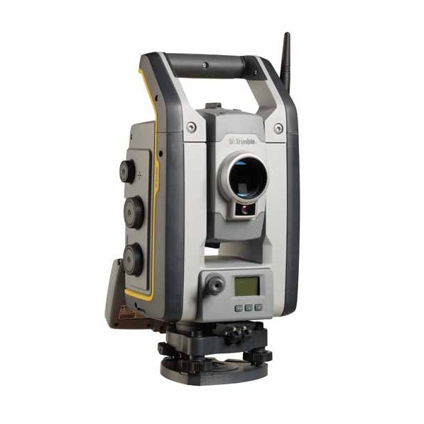
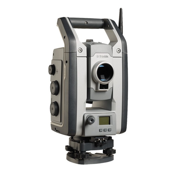
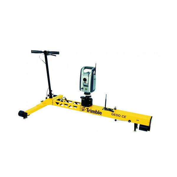
- Terrestrial – Controls total stations and provides real-time and post-processing engines to monitor the location of targets.
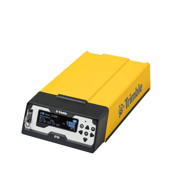
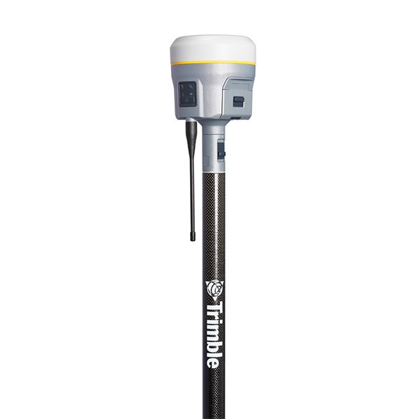
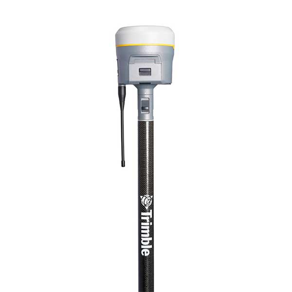
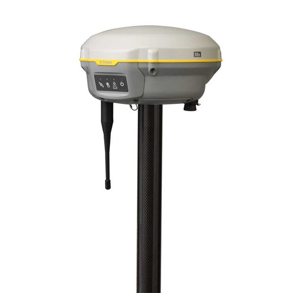
- GNSS – Provides real-time and post-processing engines to monitor GNSS reference and monitoring stations.
- High Rise – Uses GNSS and inclination sensors to monitor high-rise structures during high-rise construction, delivering precise and reliable coordinates on demand.
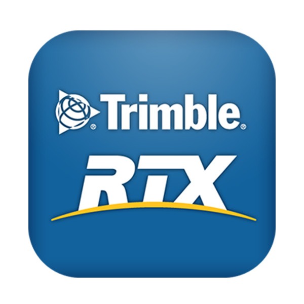
- RTX – Trimble’s advanced RTX technology performs absolute position estimation and coordinate integrity monitoring in real-time removing the requirement for GNSS reference stations.
- Seismogeodetic – Uses integrated GNSS displacement and high frequency 200Hz accelerometer data taking advantage of combining the benefits of both technologies.