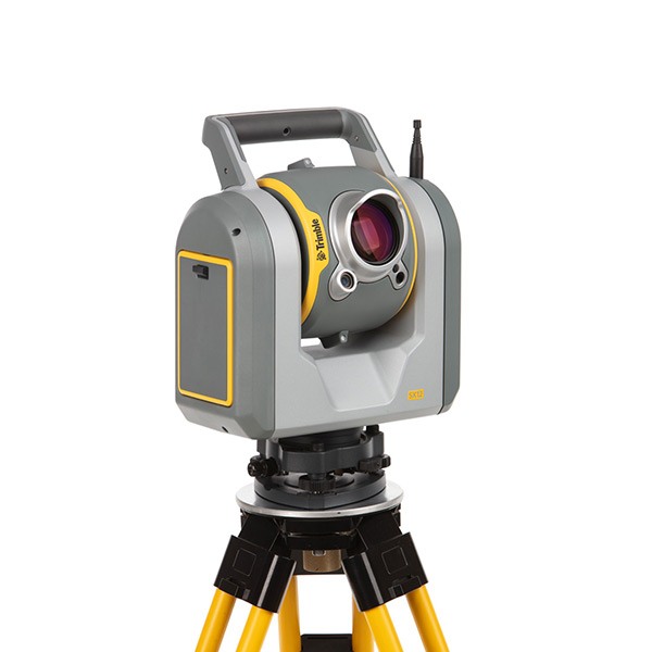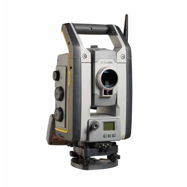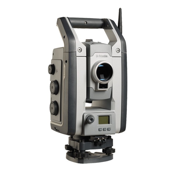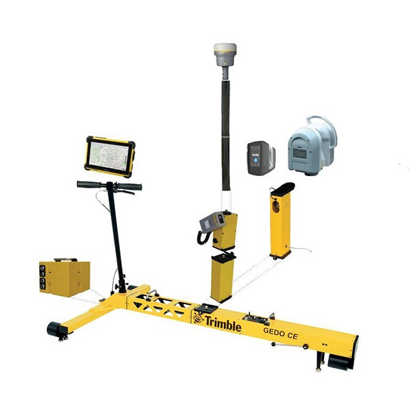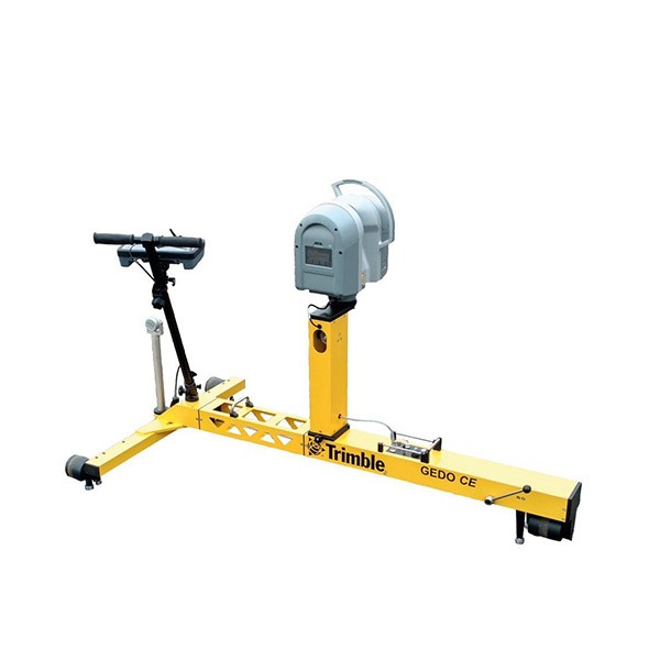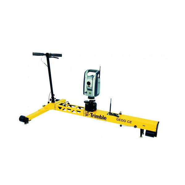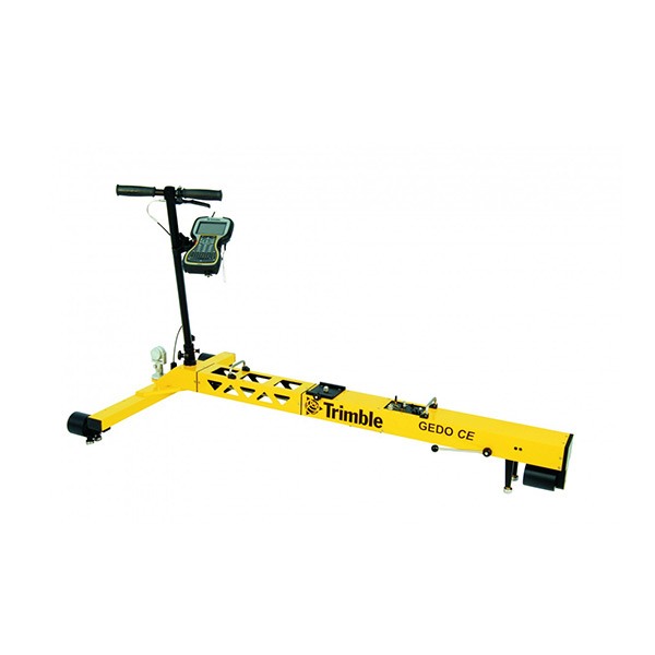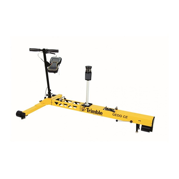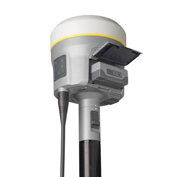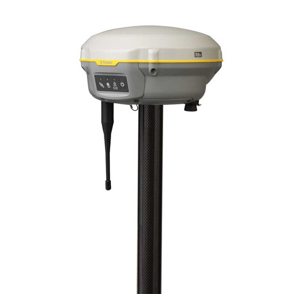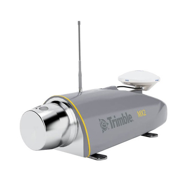
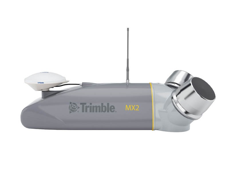
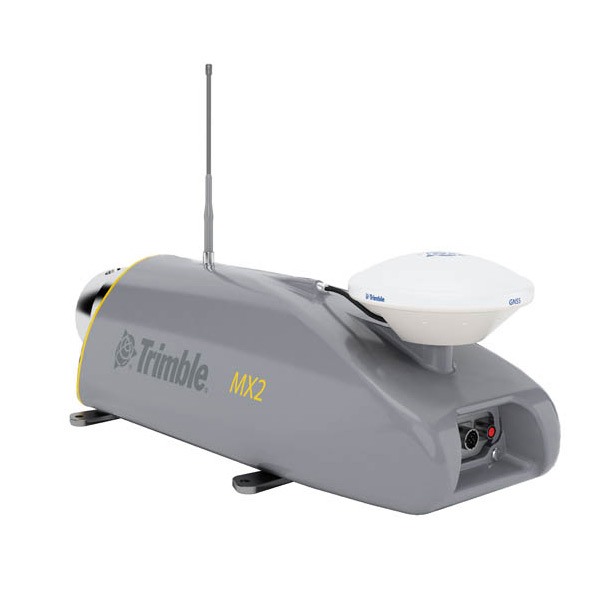
Description
Features
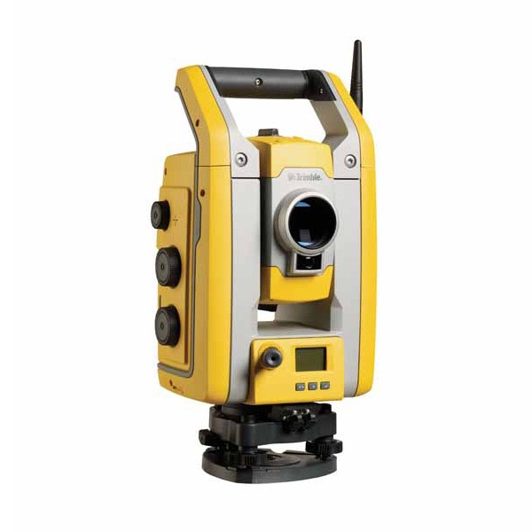
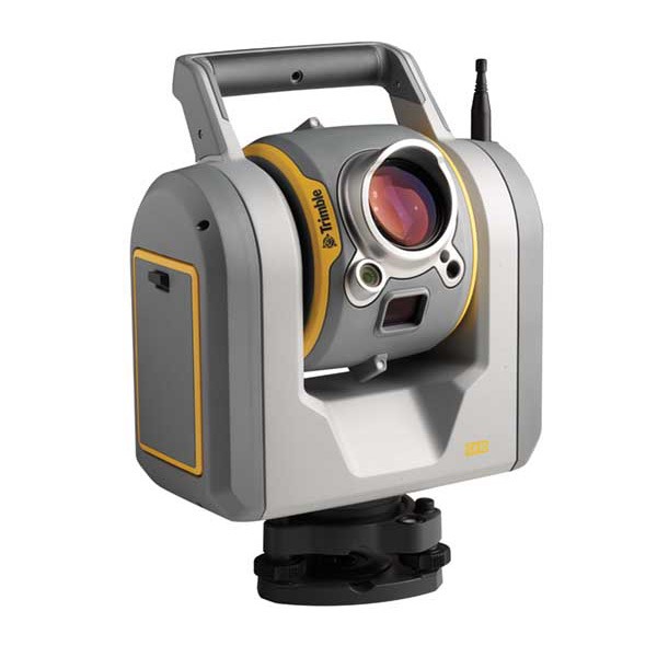
- High performance laser scanner captures fully synchronized point clouds
- Precision positioning using tightly coupled GNSS and inertial referencing system
- Rugged, reliable and lightweight design with low power consumption
- Deploys on all sizes of on- and off-road vehicles, quad bikes, and boats
- Use with Trimble Trident software for data capture, extraction and analysis
Benefits
- Versatile system offers significant operational flexibility
- Outstanding performance and value with low cost of ownership
- Optimizes staff utilization and lowers skill requirements
- Reduces project timescales through fast deployment, data capture, and analysis
- Highly efficient, proven analysis workflows
- Enhances operational capabilities and expands market opportunities
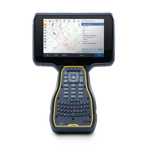
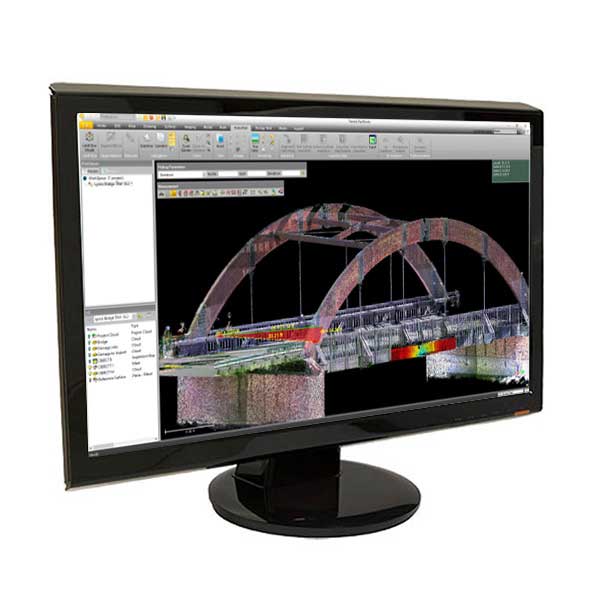
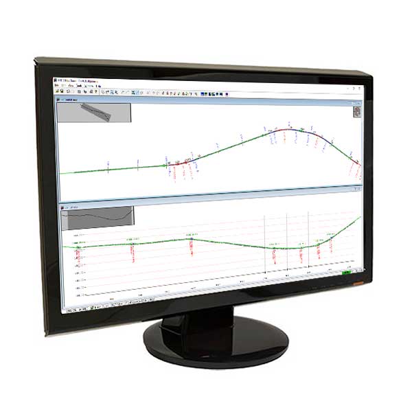
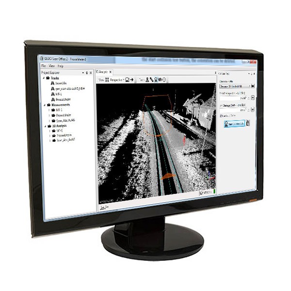
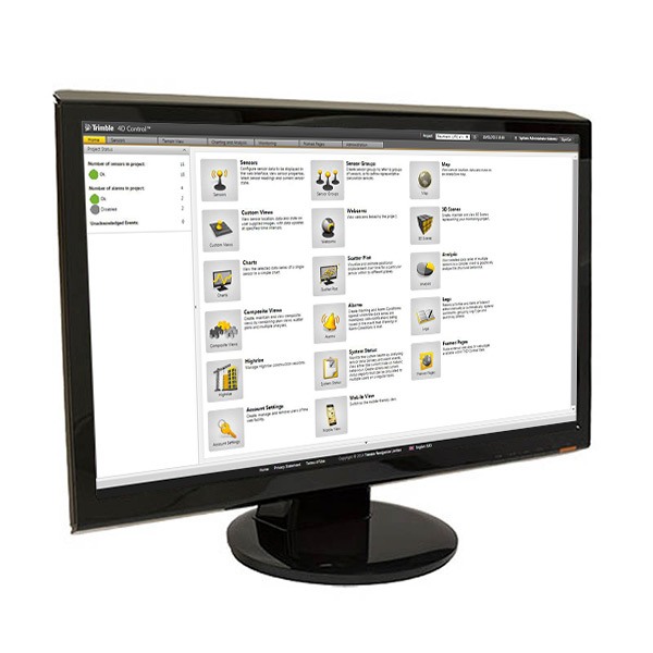
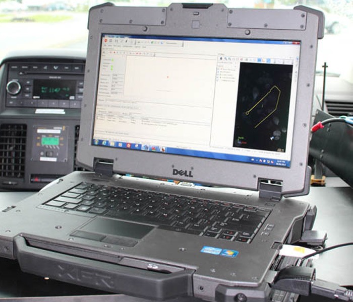
Software
The Trimble MX2 allows you to visually observe and capture the job site, then produce deliverables in the office later using Trimble Trident and Applanix POSPac™ MMS software. Trident Imaging Hub software is available with the system and offers robust object positioning, measurement, data layer creation, 3D models and analysis of geo-referenced imagery