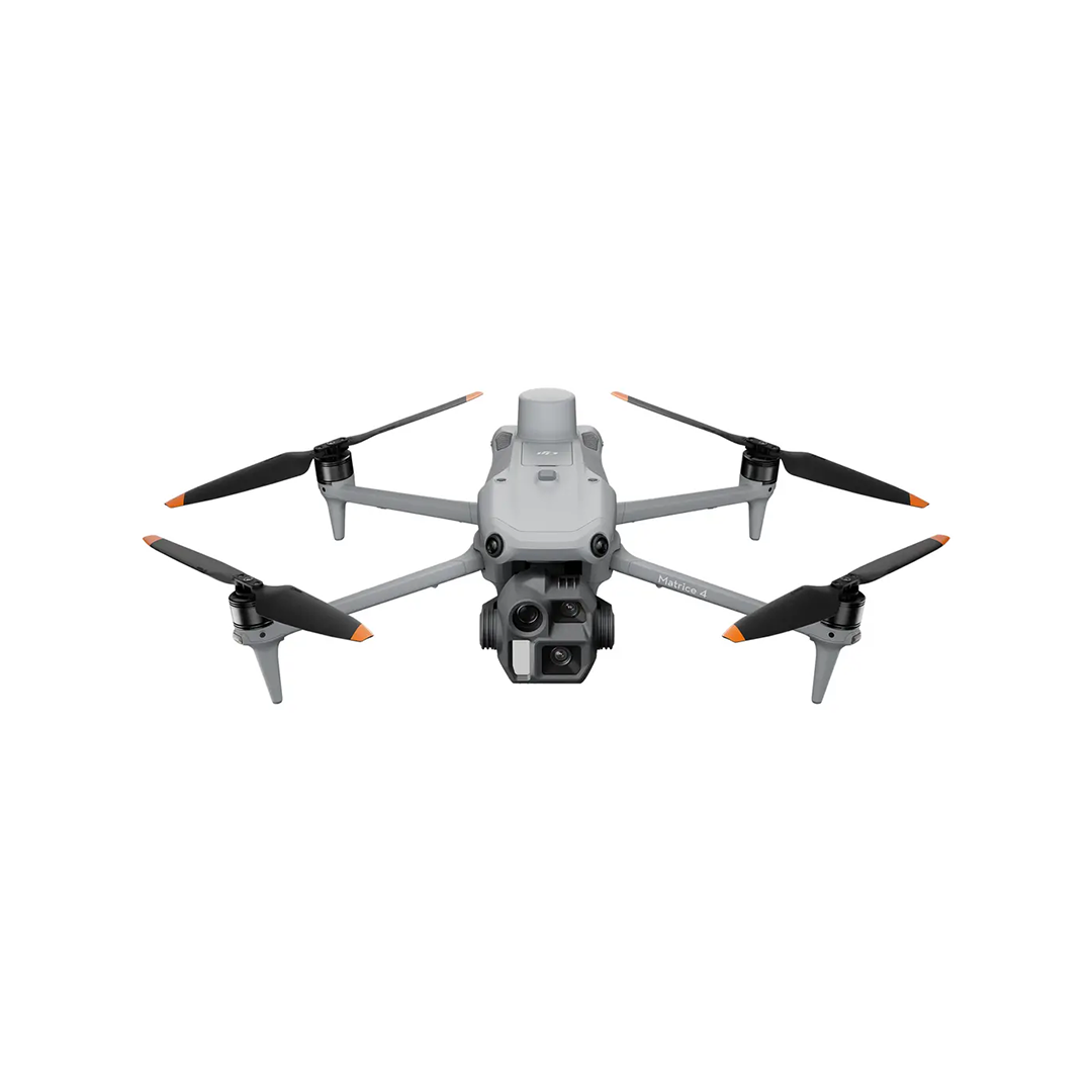
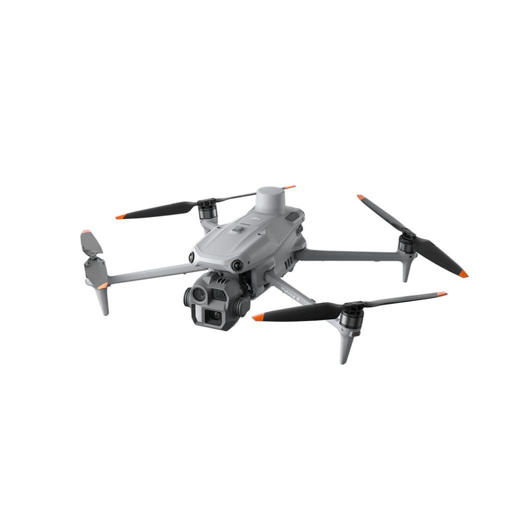
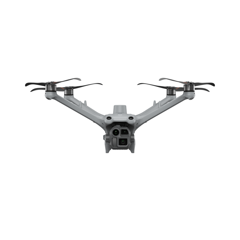
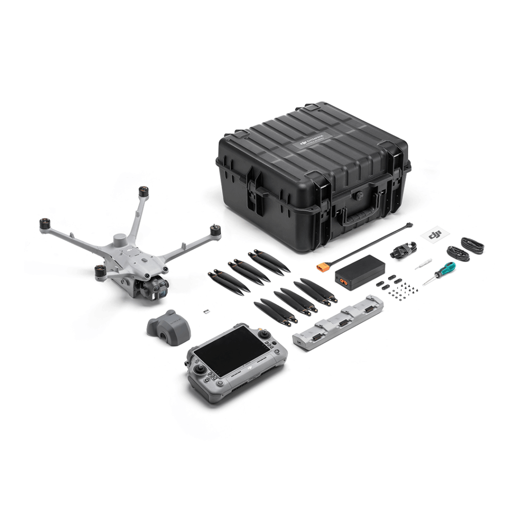
Matrice 4D

Matrice 4D is a high-performance enterprise drone designed for professional mapping, surveying, and visual inspections. It delivers very high-resolution imagery and precise distance measurement, and is built to operate in tough environmental conditions — making it ideal for infrastructure inspection, construction monitoring, land surveying, and other daylight-focused tasks.


Key Features

High-Resolution Imaging
Delivers crisp visual data using a multi-camera system ideal for mapping and inspecting.

Precise Distance Measurement
Built in laser range finder provides accurate data for surveying and structural analysis.

Optimised for Daylight Operations
Excellent performance for construction monitoring, infrastructure inspection, and visual detail capture.

Durable All-Weather Design
IP55 protection and optional autonomous systems support reliable use in challenging conditions.

Description

Key Technical Specs:
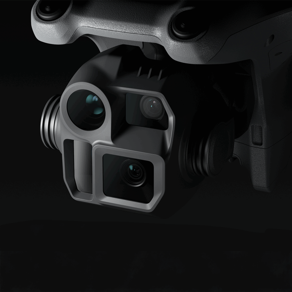
  • Camera system:
      - Wide-angle camera — 4/3″ CMOS, 20 MP, mechanical shutter, ~24 mm equivalent.
      - Medium telephoto camera — 1/1.3″ CMOS, 48 MP, ~70 mm equivalent.
      - Telephoto camera — 1/1.5″ CMOS, 48 MP, ~168 mm equivalent.

  • Laser Range Finder — works up to ~1800 m (straight) or 600 m (oblique), accuracy approx ±(0.2 + 0.0015×D) metres.

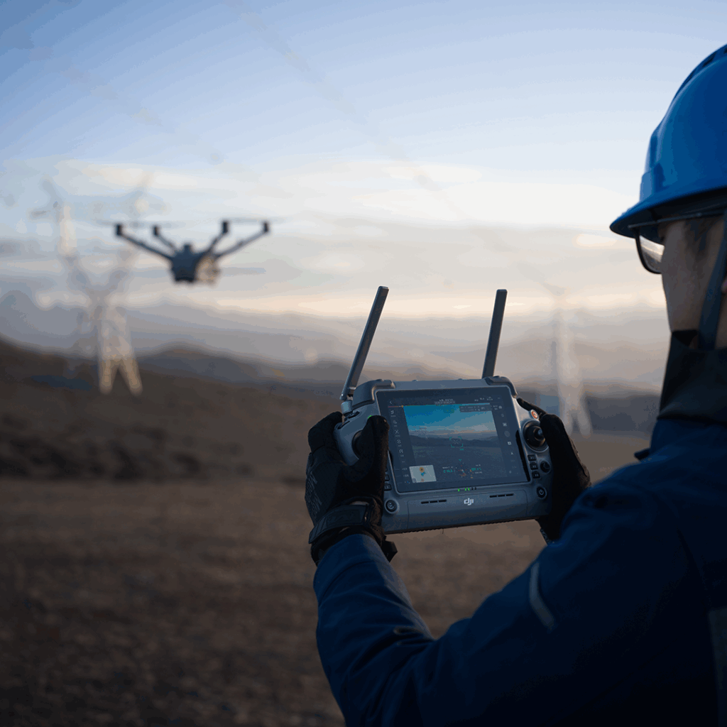
  • Flight time / endurance — up to 54 minutes forward-flight, 47 minutes hovering.

  • Environmental resilience — dust & water resistance IP55 rating.

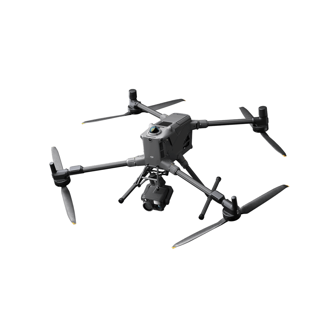
  • Obstacle detection / safety — optional obstacle-sensing module (LiDAR + millimetre-wave radar) enabling precise “wire-level” detection even at speed up to 15 m/s.

Downloads


other products