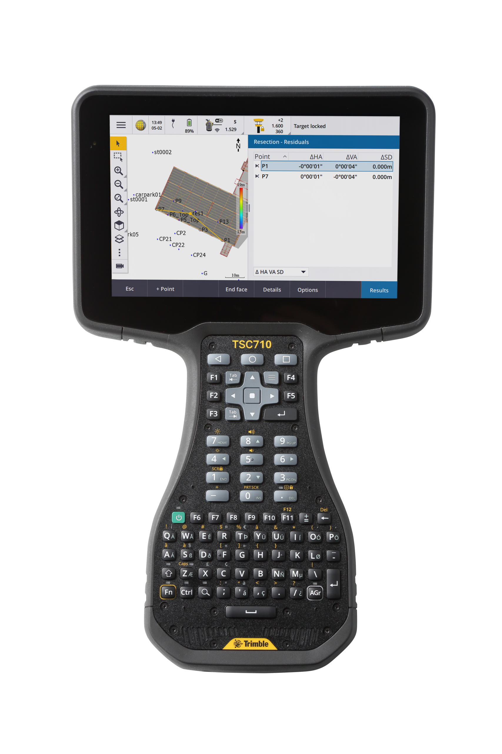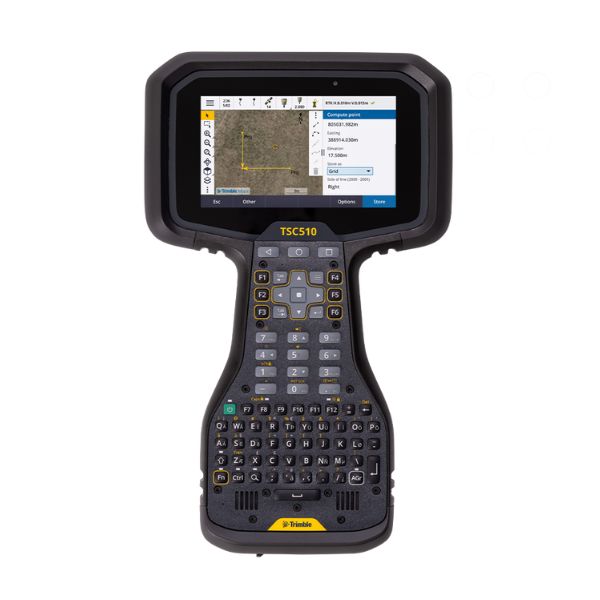


Description
Visualise in 3D
Visualise designs on-site from boundaries to structures. Compare model data to real conditions for planning and maintenance. Spot discrepancies early to avoid costly rework.
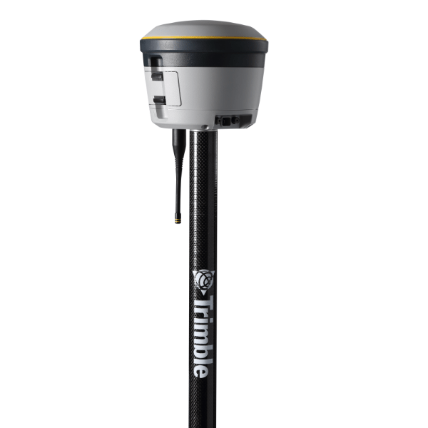
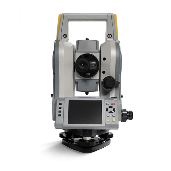
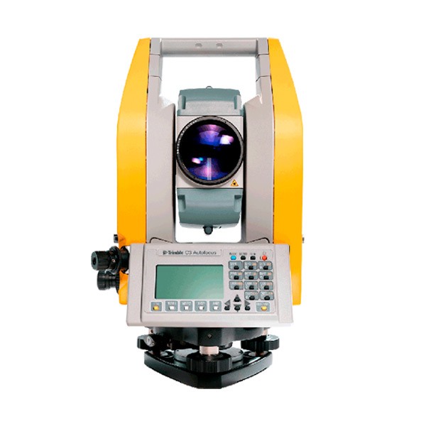
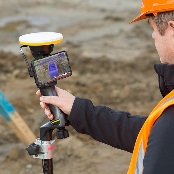
Measure
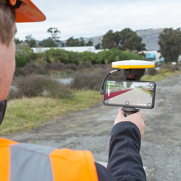
Collect augmented reality images of your design in real-world views. Use the Trimble® Catalyst™ DA2 for reliable GNSS points and the Trimble HSP2 handle’s laser rangefinder for swift remote measurements.
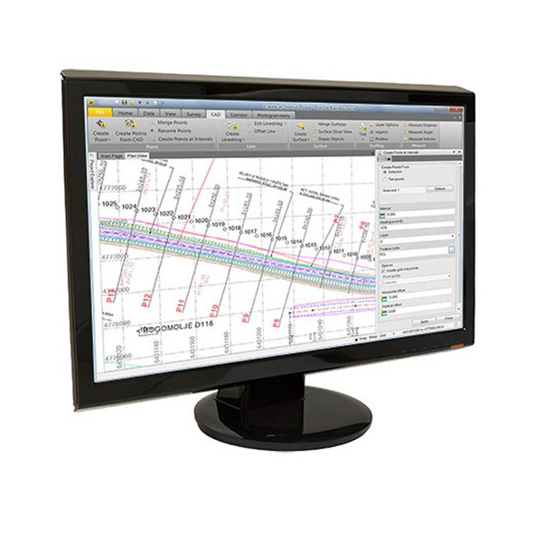
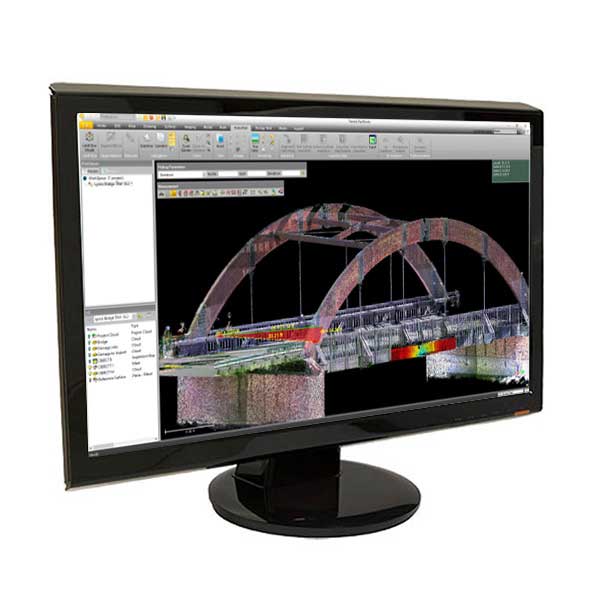
Collaborate
Provide your team with field access to accurate data via Trimble Connect® cloud software. Manage revisions, access rights, and reporting tools from anywhere. Create tasks, report status, request clarifications, and share assignments in real time.
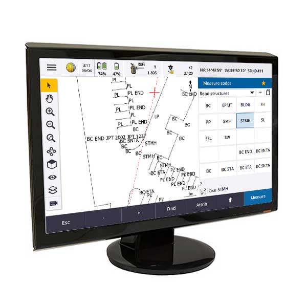
Report
Take photos, record measurements, and make notes in the field. Create and assign tasks to team members.